



IMECOGIP


Implementation Phase
The IMECOGIP project aims to anchor the concept of ecosystem services (ES) in practice by linking expert knowledge with administrative-structural planning cultures. During the research and development phase, the software EnhancES was developed, which can assess twenty ecosystem services deemed essential for urban areas. EnhancES is available as an open application for the open-source QGIS and is intended to provide actors at the communal and regional levels with competence in handling ecosystem services.
In the implementation phase, EnhancES will be integrated into the work routines of administrations and planning offices in China (Shanghai, Qingdao) and Germany (Bochum, Gelsenkirchen, Metropole Ruhr). To this end, a strong network of partners has been established, who will adapt EnhancES to their specific application areas. The partners benefit from direct feedback from the developer group, training, and scientific accompaniment.
The goals of the implementation phase include the regular use of EnhancES in planning institutes, the routine implementation in planning procedures, the improvement of the appearance, the ensuring of technical functionality, the establishment of a Community of Practice, and the wide recognition of EnhancES in the metropolitan regions.
The implementation will be organized into six work packages: Coordination, Teaching & Training, Technology Management, Application Areas, Governance and Impact Research, and Transfer and Third Mission. The tasks will be carried out cooperatively by the consortium partners RUB and ILS.
EnhancES is targeted at urban planners, political decision-makers, civil society, and other actors involved in urban development. The software will be available for free download, and a growing Community of Practice will ensure the sustainability of the project results. Potential users come from the fields of urban planning, politics, civil society, science, and business.
Research in Action
imecogip-1
imecogip-2
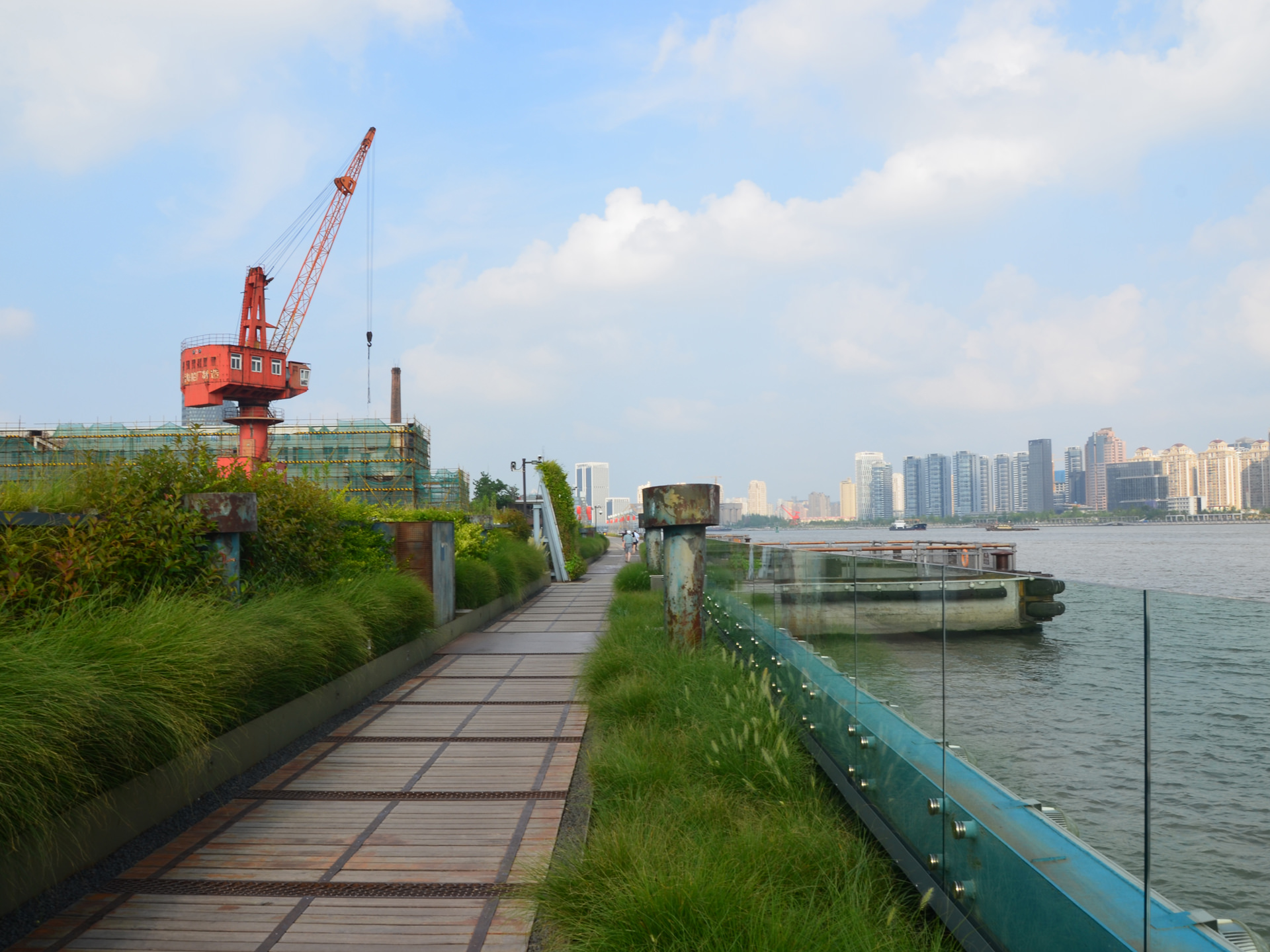
imecogip-3
Research and Development Phase
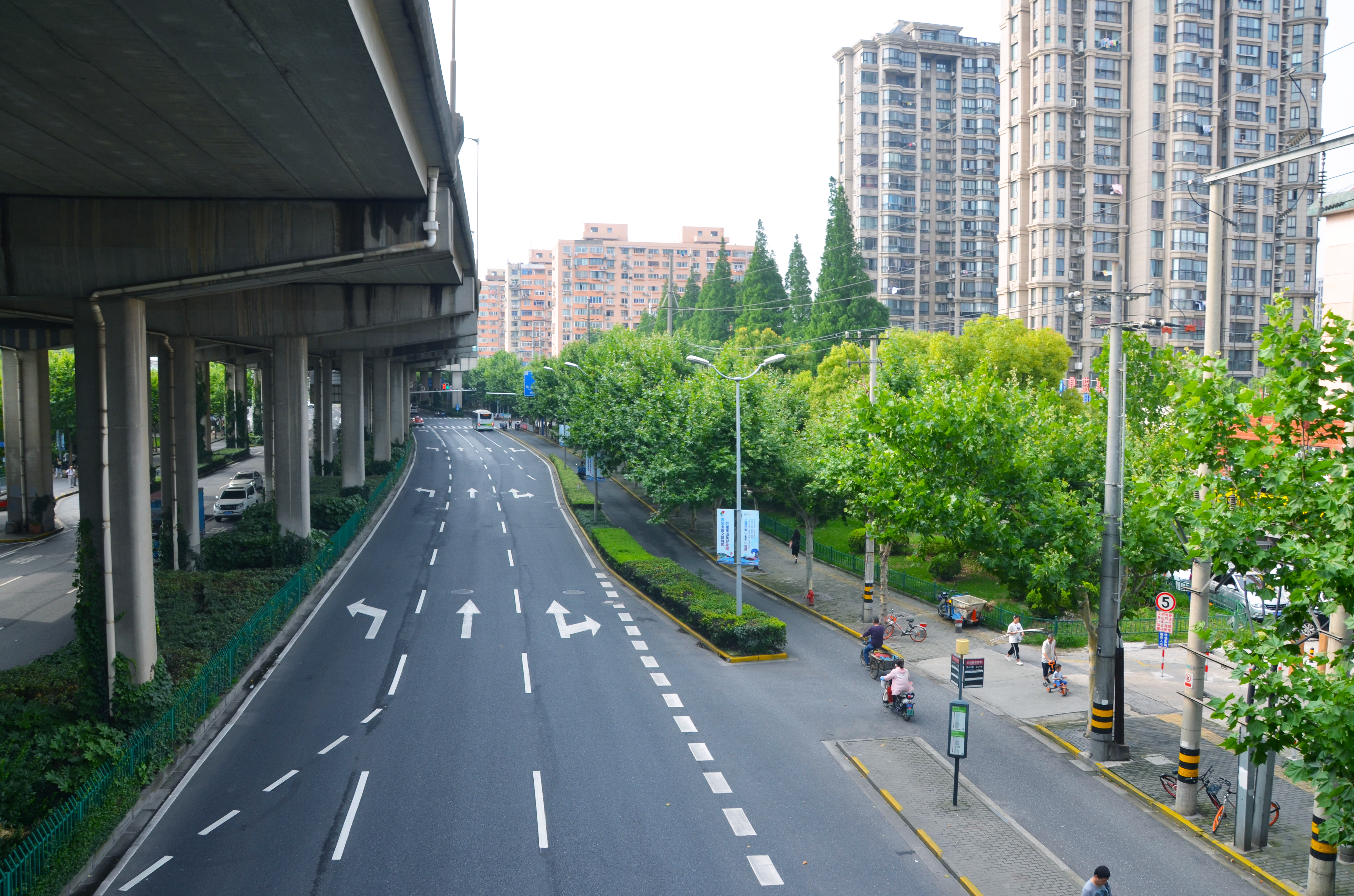
Straßenbegleitgrün mit angrenzender Wohnbebauung in Shanghai
©RUB, Matthias Falke
Connected green structures ideally run through the built-up city and connect open spaces, such as parks, green residential and industrial areas, avenues, forests, nature reserves, meadows, and other agricultural lands. They are carriers of ecosystem services with benefits and welfare effects for people.
- What benefits do different types of green and open spaces provide, for example, for climate adaptation, water management, reducing pollutants, education, and recreation?
- How effective are green and open spaces for people and the preservation of biodiversity?
- Where is there room for improvement, where are there opportunities for optimization?
- What are the advantages and disadvantages of planning variants?
IMECOGIP developed the QGIS-based toolbox „EnhancES“, which enables practical, quantifying assessments of up to twenty ecosystem services. The conceptual basis is the classification of the European Environment Agency, the Common International Classification of Ecosystem Services (CICES Version 5.1). Pre-installed land use/biotope classifications for China and Germany facilitate the use. In Germany, EnhancES works with online-available geodata (land use, biotopes, soils). EnhancES is open-source for own applications and scalable, i.e., adaptable to various scales from the building block to the region.
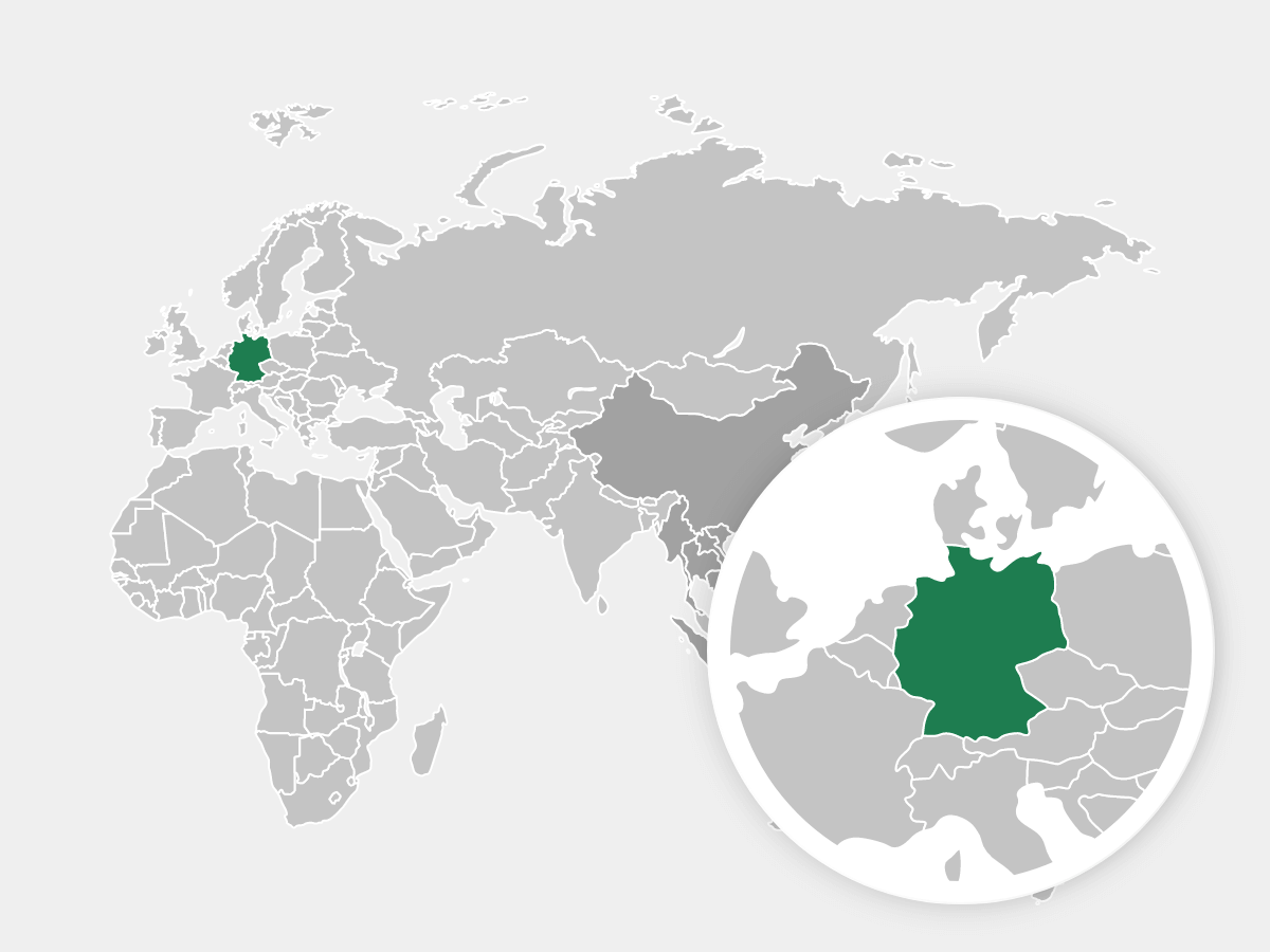
German Partners
Chinese Partners
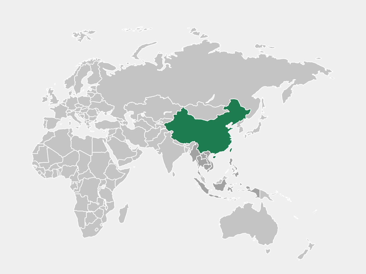
- Tongji University, Shanghai
- Joint International Research Laboratory of Eco-Urban Design (Ministry of Education), Shanghai
- Shanghai University
- Chinese Academy of Sciences in Beijing
- Obermeyer Engineering Consulting
- energydesign
- Qingdao Surveying and Mapping Institute
- Shanghai Tongji Urban Planning & Design Institute Co., Ltd. (TJUPDI)
- Chinesisch-Deutsches Zentrum für Nachhaltige Stadtentwicklung (CDZNS)
Prof. Dr. Harald Zepp

imecogip-zepp-2
©Michael Schwettmann
In a few years, ecosystem services and nature-based solutions will become a must-have for resilient and climate-friendly urban planning. Our project provides groundbreaking, supportive methods and know-how for this purpose. The methods integrate ecological knowledge and technology-based process innovations.
Prof. Nannan Dong

imecogip-dong-2
©Nannan Dong
It is increasingly urgent to improve the resilience of metropolitan areas to respond to climate change. Through digital based tools and interdisciplinary innovations, combined with cutting-edge researches and the latest planning practices, IMECOGIP explores how to accurately monitor and analyse complicated problems in green infrastructure planning, find the solution and support landscape performance assessment.
Project coordination
imecogip-zepp-2
©Michael Schwettmann